

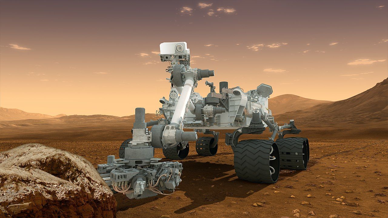
NASA’s Curiosity rover keeps climbing Mount Sharp on Mars, reading layers of ancient rock as it goes. In this explainer from NASA/JPL-Caltech, scientists walk through the rover’s panorama views and what the wind-carved terrain reveals about the planet’s past.
Video credit: NASA/JPL-Caltech.
Curiosity’s climb has a destination written into the mountain’s geology. Mount Sharp’s layers ascend through Mars’s environmental history: the lower strata formed in the wet era, when Gale Crater held a lake, and the upper slopes record the planet drying. By driving upward, the rover reads forward in time — each panorama a page of that record, each cliff face the shoreline of a climate that no longer exists.
The images serve two masters at once. Geologists parse them for the chemistry of ancient water, while the rover’s drivers use the same frames to choose the next hundred metres of route. It is that double duty — the panorama as both scientific document and map — that the JPL scientists are explaining, thirteen years into a mission designed to last two.
The mission team is candid that the rover is ageing: wheel wear from sharp rocks forced a change in driving strategy years ago, and each new traverse is planned around the machine’s accumulated injuries. That the panoramas have grown more ambitious as the hardware has grown more fragile is the mission’s quiet argument — that careful operations, not just robust engineering, are what thirteen years on Mars are made of.
Related reading: Watch: Nobel Prize Announces 2026 Peace Prize for Navi Pillay