

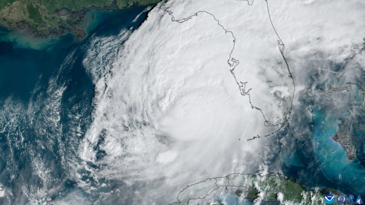
Hurricane Isaias, the first Atlantic hurricane of the 2026 season, strengthened in the Gulf of Mexico on Thursday as coastal communities prepared for a dangerous landfall and energy companies pulled workers from offshore platforms.
The United States National Hurricane Center said Isaias was packing strong sustained winds and moving toward the northern Gulf Coast. Forecasters expected further strengthening before landfall late Friday or early Saturday. Officials warned of life-threatening storm surge, flooding rain, tornadoes and damaging wind.
The timing is unusual. A strong El Nino pattern this year helped suppress Atlantic hurricane development by increasing wind shear, the atmospheric change that can tear developing storms apart. Isaias nearly matched the record for the latest first hurricane of a season, a reminder that a quiet year can still produce a destructive storm.
Preparations moved quickly. Mandatory evacuations were ordered in parts of Florida, and Alabama issued emergency declarations, according to reports. Residents in surge-prone areas faced the familiar decision of whether to leave before roads flood. Emergency managers stressed that the day before landfall is the time to finish preparations, not begin them.
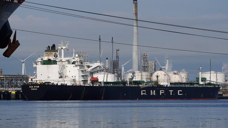
The Gulf’s energy industry is especially exposed. Federal monitors said personnel had been evacuated from more than a hundred production platforms and several rigs. Producers had shut in roughly a quarter of current Gulf oil output and a significant share of natural gas production by Wednesday. Companies including Shell and Chevron were reported to be curtailing offshore operations.
Those shutdowns matter after the storm as well as before it. Restarting offshore production requires inspections, returning crews and checking pipelines and platforms for damage. Onshore refineries and ports can also be affected by flooding or power loss. Even a storm that weakens before landfall can leave a complicated industrial recovery.
Forecasters focused on water as the main threat. Storm surge can push Gulf water inland across low-lying coasts, while heavy rain can flood communities far from the beach. Tornadoes often spin up in a hurricane’s outer bands. Officials warned that conditions can deteriorate quickly once tropical-storm-force winds arrive, closing bridges and making rescue work unsafe.
Isaias will test emergency systems that have had a relatively quiet season. A late first hurricane can catch residents less prepared than they would be in a busy year. Officials urged people to follow local evacuation orders, avoid driving through flooded roads and check on neighbours after the storm passes.
The hurricane’s final intensity and exact landfall point remained uncertain on Thursday. Small shifts in track can change which towns receive the highest surge. What was already clear is that a season shaped by El Nino has entered a more dangerous phase, with the Gulf Coast at its centre.
Gulf residents know the cost of arriving late to a hurricane. Surge flooding has historically caused the majority of tropical-cyclone deaths in the United States, often among people who stayed in homes they believed were high enough. Officials therefore measure success not by whether a town looks calm on Thursday, but by whether evacuation routes are clear before the first bands arrive. After landfall, the work changes again: search and rescue, restoring power to hospitals and water plants, and clearing ports so fuel and food can move. Isaias being the season’s first hurricane does not make it a rehearsal. For the communities in its path, it is the season.
Related reading: Morocco Appoints First Woman Prime Minister as El Mansouri Begins Coalition Talks · Bolsonaro Wins Cury Endorsement as Brazil Runoff Race Tightens · Ukraine Counts Cost of Major Russian Strike as Winter Energy Fears Grow